11 Dec 2024

Tired Earth
By The Editorial Board

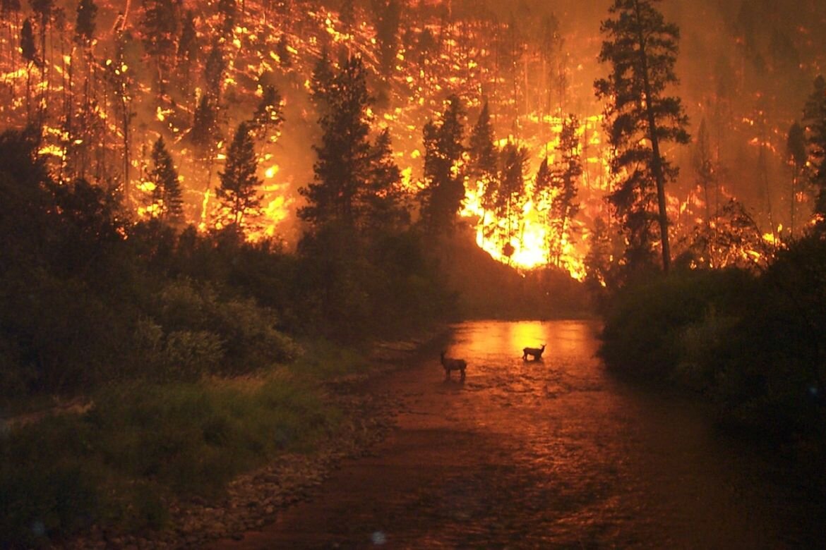
Now, with the number of forest fires on the rise in the western U.S., that phenomenon is increasingly influencing the region's water supply—and has increased the risk for flooding and landslides—according to a UCLA-led study published today in the Proceedings of the National Academy of Sciences.
Researchers examined streamflow—a measure of water volume over time in rivers and streams—and climate data for 179 river basins. (Basins are areas of land where precipitation collects and drains into a common outlet.) All of the areas were located in the western U.S., and all had been affected by forest fires between 1984 and 2020.
Using a mathematical model they developed, the scientists discovered that streamflow in the years after a fire tended to be higher than scientists would expect based solely on climate conditions, and that larger fires tended to be followed by larger increases in streamflow.
In basins where over 20% of the forest had burned, streamflow was 30% greater than expected based on climate conditions, on average, for an average of six years.
Park Williams, a UCLA associate professor of geography and the study's lead author, said forest fires enhance streamflow because they burn away vegetation that would otherwise draw water from soil and block precipitation before it ever reached the soil. Intense forest fires can also "cook" soils, making them temporarily water repellent.
From 1984 through 2020, the amount of forested area burned each year in the West increased elevenfold, and that trend is expected to continue or even accelerate due to climate change.
"As a result, we're starting to see sequences of years when large portions of forest are burned across some very important hydrological basins such as those in California's Sierra Nevada," Williams said.
The study's findings suggest that wildfires will soon become yet another important consideration for those in charge of the supply and distribution of water resources. Each year, the region's water managers must carefully calculate how much water will be available and determine how to conserve and allocate it.
In one sense, the increase in streamflow from forest fires may be beneficial, Williams said.
"This could come as good news to dry cities like Los Angeles, because it could actually enhance water availability," Williams said.
But other outcomes could be troubling. For example, in the coming decades, too much water could overwhelm reservoirs and other infrastructure, and could increase the risk for catastrophic flooding and landslides in and around burn areas.
To adapt to increasing flood risks, Williams said, water managers in California may have to lower the water levels in reservoirs in the fall and winter to make room for excess water from major rainfall and snowstorms. Such a strategy could avoid disastrous flooding in some cases, but it could also put communities at risk for having too little water during the state's increasingly hot, dry summers.
Water after a forest fire also tends to be heavily polluted, carrying mud, debris and large sediment loads. So even if the quantity of available water increases after a large fire, it's likely that water quality will worsen.
Williams said he hopes the findings help water managers and climate scientists make better predictions about water availability and flood risk.
"Water is a really heavy and destructive thing," Williams said. "It's great when it comes to us in the expected amount. It is catastrophic when it shows up unexpectedly."
Source : phys.org
Comment